
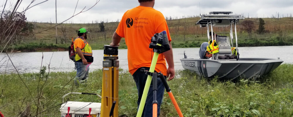
RIC, working as a subconsultant, performed a boundary survey for the USACE Tulsa District. The survey required recovering a portion of the existing U.S. boundary line along portions of Birch Lake and Skiatook Lake, located in Osage County, Oklahoma. The boundary corner monuments for these two lakes were originally set between 1977 and 1981.
RIC was responsible for setting and referencing control monuments, performing static GNSS surveys to establish horizontal and vertical control, compute WGS84 (ITFR2014) Oklahoma Oklahoma North State Plane Coordinates, research deeds and record surveys, recover existing boundary corner monuments, determine State Plane coordinates of all found and missing corners, and reset any damaged or missing corner monuments. The survey locations were very remote and in rugged terrain. The survey crews made arrangements with the Corps personnel at the lakes to have them provide access to the survey site via boat.
RIC also computed coordinates for all found and missing corners and developed a Plat of Survey for each lake in MicroStation and PDF format. The project had an accelerated period of performance that was met by both our field and office personnel.